Petra Lorenz · 13 October 2026
Researchers Utilize Light Field Capture to Create Immersive Virtual Tours of Ancient Archaeological Sites
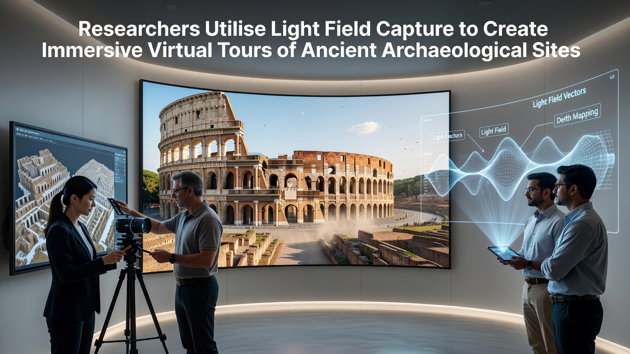
Archaeological teams have integrated light field capture systems into documentation workflows at sites across multiple continents, and this approach records both spatial and angular light information to support detailed virtual reconstructions. Researchers at institutions in Europe and Australia began scaling these methods in 2025, while data from pilot programs showed that light field arrays can generate navigable environments that preserve contextual details such as surface textures and lighting variations that traditional photography often loses.
Technical Foundations of Light Field Documentation
Light field technology captures rays of light from numerous directions through specialized camera arrays or plenoptic sensors, and this process enables post-capture refocusing along with parallax shifts that simulate physical movement through a space. Teams working at Pompeii and the Acropolis have combined these captures with photogrammetry software to build models that users can explore via headsets or web browsers. According to a report from the European Research Council, field tests conducted through mid-2026 produced datasets exceeding 50 terabytes per site, allowing precise measurements of architectural features down to millimeter accuracy.
Equipment configurations typically include synchronized cameras mounted on drones or tripods, and operators adjust exposure settings across hundreds of viewpoints to account for varying light conditions inside tombs or under open sky. The resulting files support interactive elements such as changing viewpoints to reveal hidden inscriptions or examining how sunlight would have fallen on structures at different times of year. A study published by the University of Sydney documented similar workflows at Australian rock art locations, where light field data helped map pigment layers without physical contact.
Project Deployments Through October 2026
In October 2026 several coordinated expeditions concluded at locations in the Mediterranean and Central America, and these efforts produced public virtual tours hosted on institutional platforms. At the Mayan ruins of Palenque, researchers employed portable light field rigs to document temple interiors that remain restricted to visitors, while the captured data now permits remote examination of stelae and vaulted ceilings. Observers note that integration with existing GIS databases allows overlays of excavation records, so users can toggle between current conditions and historical layers.
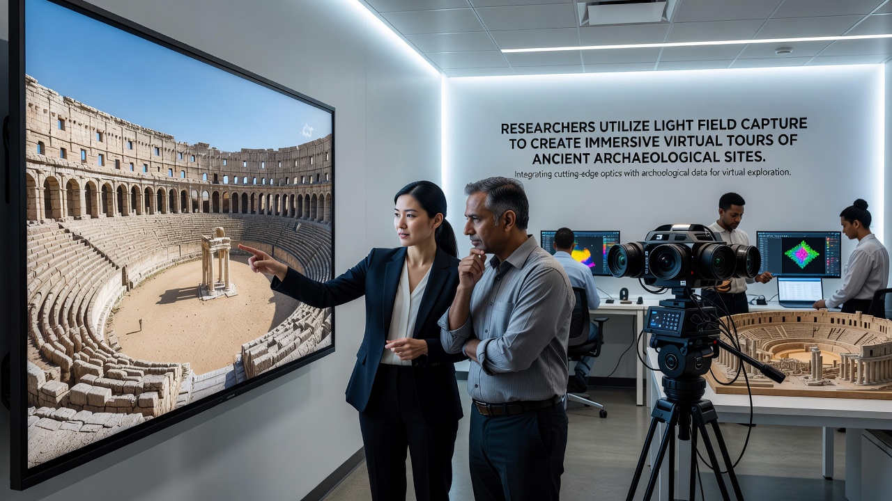
Additional work at the Roman Forum involved collaboration between Italian heritage authorities and academic partners, and the resulting models incorporate seasonal lighting simulations derived from the original light field captures. Figures released by the project team indicate that over 120,000 individual light rays per square meter were recorded during the main scanning phase, supporting smooth transitions between viewpoints. Those who've reviewed the datasets highlight how the angular information reduces artifacts that appear in standard 360-degree panoramas when users attempt close inspection.
Applications in Preservation and Education
Conservation specialists apply light field archives to monitor structural changes over time, since repeated captures can reveal subtle shifts in stone alignment or erosion patterns without repeated site access. Museums have begun embedding these tours into exhibition displays, and visitors interact with touchscreens that mirror the same refocus capabilities used in the field. Data from the Australian Rock Art Research Association shows that educational programs utilizing such models increased student retention of site-specific details by measurable margins in controlled trials.
Cross-border initiatives have standardized file formats to facilitate sharing between research groups, and this interoperability lets teams in one region reference captures from another without reformatting. The approach also supports accessibility features, including audio descriptions triggered at specific viewpoints and adjustable contrast modes for users with visual impairments. Researchers continue to refine compression algorithms that maintain angular fidelity while reducing storage demands, building on earlier laboratory validations of multi-view coding techniques.
Conclusion
Light field capture has moved from experimental setups into operational use at archaeological sites worldwide, and the documented projects through October 2026 demonstrate scalable methods for creating persistent digital records. Ongoing work focuses on expanding coverage to underwater and remote locations while maintaining compatibility with emerging display technologies. These efforts provide researchers, educators, and the public with access to spatial information that complements physical preservation strategies.