Zoe Lang · 27 October 2026
Plenoptic Systems Now Track Subtle Atmospheric Particle Shifts During Wildfire Events
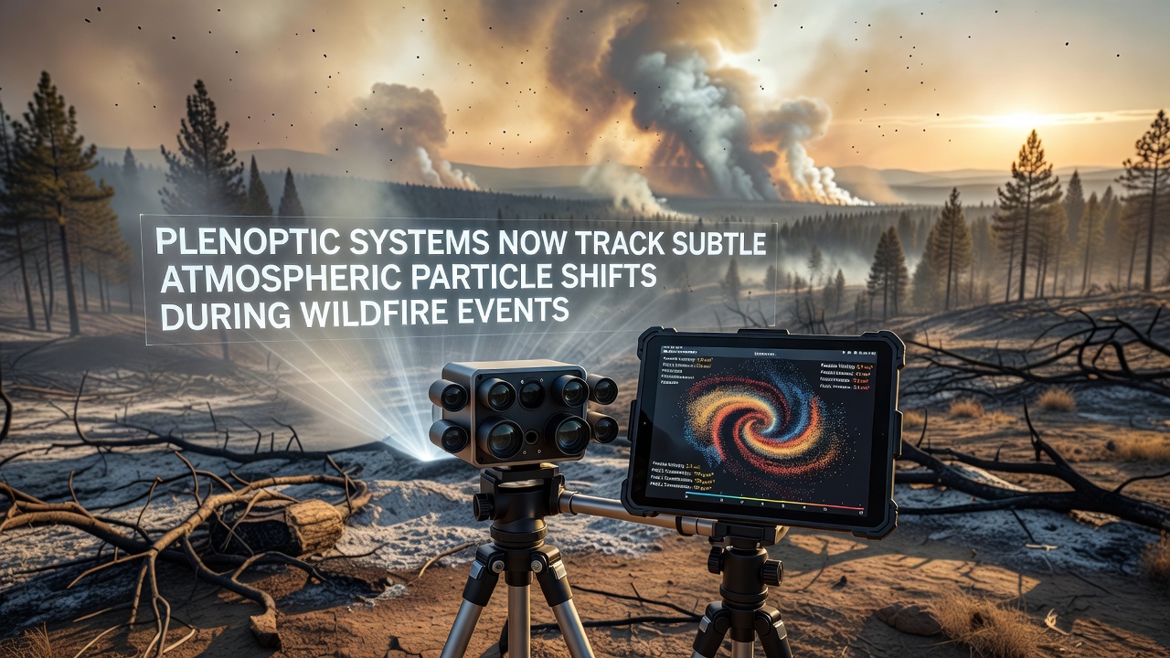
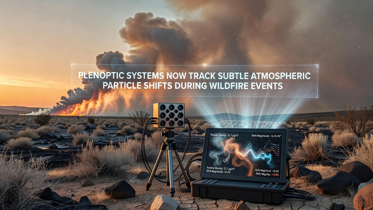
Plenoptic systems capture light field data across multiple angles and depths, allowing researchers to monitor minute changes in airborne particles released during wildfires. These shifts include variations in smoke density, aerosol movement, and particulate distribution that traditional cameras often miss because of their limited depth resolution. Data from such systems helps map how wind currents carry particles across regions and how fire intensity alters particle behavior in real time.
Technical Capabilities of Plenoptic Imaging for Atmospheric Analysis
Plenoptic cameras record both spatial and angular information from incoming light, which creates four-dimensional datasets that scientists process to reconstruct particle trajectories. In wildfire scenarios, this means observers can isolate individual particle clusters even when visibility drops due to heavy smoke. Algorithms then calculate velocity vectors and concentration gradients without requiring multiple separate sensors positioned around the event site. Recent field deployments have shown that these systems maintain accuracy at distances exceeding several kilometers while operating under turbulent atmospheric conditions.
Integration with satellite feeds and ground-based lidar extends the reach of plenoptic arrays, and data fusion techniques combine light field captures with meteorological readings. This combination reveals patterns such as how thermal updrafts lift finer particles higher into the atmosphere while heavier ash settles closer to the ground. Studies conducted across multiple fire seasons confirm that the added angular data reduces uncertainty in particle tracking models by measurable margins compared to conventional imaging alone.
Deployment Patterns Observed Through 2026
By October 2026, several research teams had installed portable plenoptic units along fire-prone corridors in North America and Australia. These installations focused on high-risk zones where rapid changes in wind direction frequently complicate evacuation planning. Operators reported that the systems delivered continuous streams of particle shift data even during active burning periods, feeding directly into regional air quality forecasts. The timing aligned with peak fire activity in both hemispheres, which allowed direct comparisons between datasets collected under similar temperature and humidity profiles.
One notable project linked plenoptic outputs to predictive models used by forestry agencies, and the resulting maps highlighted corridors where particle concentrations spiked unexpectedly due to terrain features. Such information supports decisions on resource allocation for containment efforts and public health alerts. Equipment calibration occurs seasonally to account for lens degradation from smoke exposure and temperature swings common in affected areas.
Comparative Advantages Over Earlier Monitoring Methods
Traditional particle sensors provide point measurements that require extensive interpolation to build broader pictures, whereas plenoptic systems generate dense spatial coverage from single vantage points. This difference becomes especially clear when tracking the leading edges of smoke plumes that spread unevenly across valleys and ridges. Field comparisons conducted in recent seasons indicate that light field data identifies subtle directional changes up to thirty minutes earlier than standard camera networks. Those earlier detections give emergency services additional time to adjust response strategies before conditions deteriorate further.
Power requirements remain modest for plenoptic units because they rely on passive light capture rather than active illumination, which suits remote wildfire perimeters where grid access stays limited. Battery-backed solar setups have proven sufficient for multi-day operations, and data transmission occurs through existing cellular or satellite links already used by fire management teams. Maintenance intervals have lengthened as manufacturers improved dust-resistant housings designed specifically for smoky environments.
Integration With Broader Environmental Monitoring Networks
Agencies coordinate plenoptic feeds with data from the NASA Earth Science Division to cross-validate particle size estimates derived from both orbital and ground-level perspectives. European counterparts at the Joint Research Centre have begun testing similar arrays in Mediterranean fire zones, where seasonal winds create distinct plume behaviors compared to North American conditions. These parallel efforts produce standardized protocols for data formatting that allow cross-border sharing during large-scale events.
Australian research groups have contributed regional calibration standards based on eucalyptus-dominated landscapes, which release different volatile compounds than conifer forests elsewhere. The combined datasets help refine global atmospheric transport models that predict how wildfire particles influence regional climate patterns over longer timescales. Observers note that the added granularity from plenoptic sources improves model resolution without requiring proportional increases in computational resources.
Conclusion
Plenoptic technology continues to expand its role in wildfire particle monitoring through ongoing refinements in sensor design and data processing pipelines. Coordinated deployments across continents demonstrate consistent performance gains when tracking atmospheric shifts that influence air quality and fire behavior. As more agencies adopt these systems, standardized integration practices support faster information exchange during active events. Continued field validation through 2026 and beyond will determine how widely the approach scales across additional fire management contexts.