Zoe Lang · 29 September 2026
Marine Researchers Harness Light Field Technology to Document Deep Sea Ecosystems
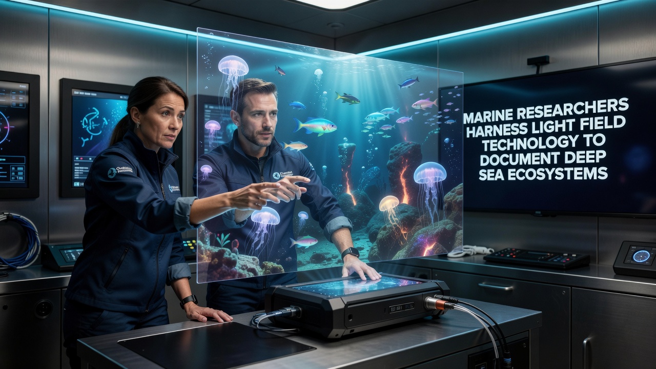
Light field technology captures both the intensity and direction of light rays in a single exposure, which allows post-processing adjustments for focus, depth mapping, and perspective shifts that conventional cameras cannot achieve underwater. Marine research teams have integrated plenoptic sensors into remotely operated vehicles and autonomous underwater systems to record ecosystems at depths exceeding 1,000 meters where ambient light drops to near zero and particulate matter scatters traditional illumination. Data collected from these instruments produce volumetric models that reveal organism distributions and habitat structures without repeated dives for refocusing shots.
Technical Foundations of Plenoptic Systems in Marine Settings
Plenoptic cameras employ microlens arrays positioned over image sensors to record directional light information, and researchers have adapted these arrays for pressure housings rated to 4,000 meters. Calibration routines correct for refraction through thick acrylic or glass ports while algorithms reconstruct scenes from raw light field data. Studies published in ocean technology journals show that depth estimation accuracy reaches within 2 centimeters at ranges up to 5 meters in clear water columns, which supports precise sizing of organisms such as glass sponges and tube worms.
Power consumption remains a constraint because each capture generates several times the data volume of standard 4K video, yet recent firmware optimizations have reduced file sizes by 30 percent through selective ray sampling. Field tests conducted off the coast of Monterey Bay demonstrated continuous recording sessions lasting six hours on battery packs carried by ROVs, and teams transmitted preview streams to surface vessels for real-time quality checks.
Expeditions and Data Collection Milestones
In September 2026 a joint program between the Monterey Bay Aquarium Research Institute and the Australian Institute of Marine Science deployed light field rigs along the Davidson Seamount and the Tasmanian Seamounts. The missions targeted hydrothermal vent fields and cold-water coral gardens, where conventional wide-angle lenses often fail to resolve fine branch structures amid suspended sediment. Raw datasets exceeded 12 terabytes per week, and processing pipelines running on shipboard GPU clusters generated interactive 3D models within 48 hours of retrieval.
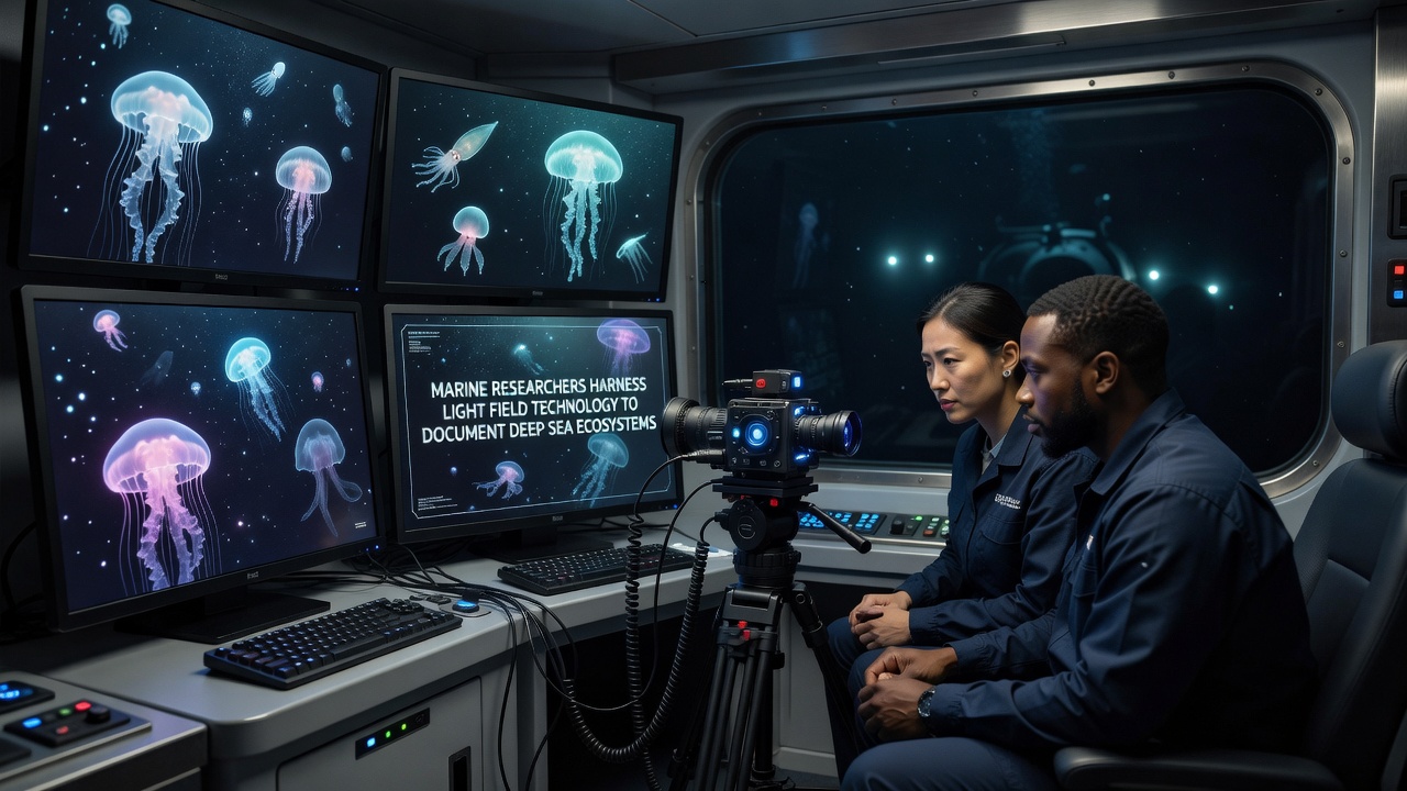
Observers note that light field recordings captured instances of bioluminescent pulses from siphonophores that lasted less than 200 milliseconds, information lost in standard frame-rate footage. Subsequent analysis revealed spatial patterns in light emission that correlate with predator avoidance behaviors, and these patterns appear consistent across multiple sites separated by hundreds of kilometers.
Advantages Over Traditional Imaging Approaches
Traditional stereo camera pairs require precise baseline alignment and suffer from correspondence errors in low-contrast environments, whereas light field systems derive depth from angular information contained within a single aperture. This difference reduces mechanical complexity on deep-sea platforms and lowers failure rates during extended deployments. Quantitative comparisons released by the National Oceanic and Atmospheric Administration indicate that light field surveys covered 40 percent more seafloor area per dive hour while maintaining equivalent taxonomic resolution.
Post-mission refocusing also permits scientists to measure growth rates on fixed transects without repositioning equipment, because each frame set contains multiple focal planes. One study tracking Lophelia pertusa colonies off the coast of Norway used archived light field sequences to document annual extension rates averaging 1.8 centimeters, figures derived from measurements taken at varying depths within the same original files.
Integration with Existing Oceanographic Infrastructure
Research vessels already equipped with fiber-optic tethers and high-bandwidth acoustic modems can stream compressed light field previews, although full-resolution transfers still occur after recovery. Software packages developed at the Woods Hole Oceanographic Institution convert raw plenoptic data into standard formats compatible with GIS platforms used by fisheries management agencies. These conversions preserve ray-direction metadata so that future algorithms can reprocess archives as computational methods improve.
International coordination efforts have begun to standardize metadata tags for light field marine datasets, and working groups under the Global Ocean Observing System plan to incorporate these tags into shared repositories by late 2027. Such standards will facilitate cross-site comparisons of biodiversity metrics collected under varying turbidity and temperature regimes.
Conclusion
Light field technology supplies marine researchers with dense spatial datasets that support detailed mapping of deep-sea communities while reducing the number of physical deployments required. Continued refinement of sensor housings, data compression routines, and processing workflows will determine how widely the approach spreads across global oceanographic programs. Records from the September 2026 expeditions already contribute baseline measurements against which future environmental changes can be evaluated.